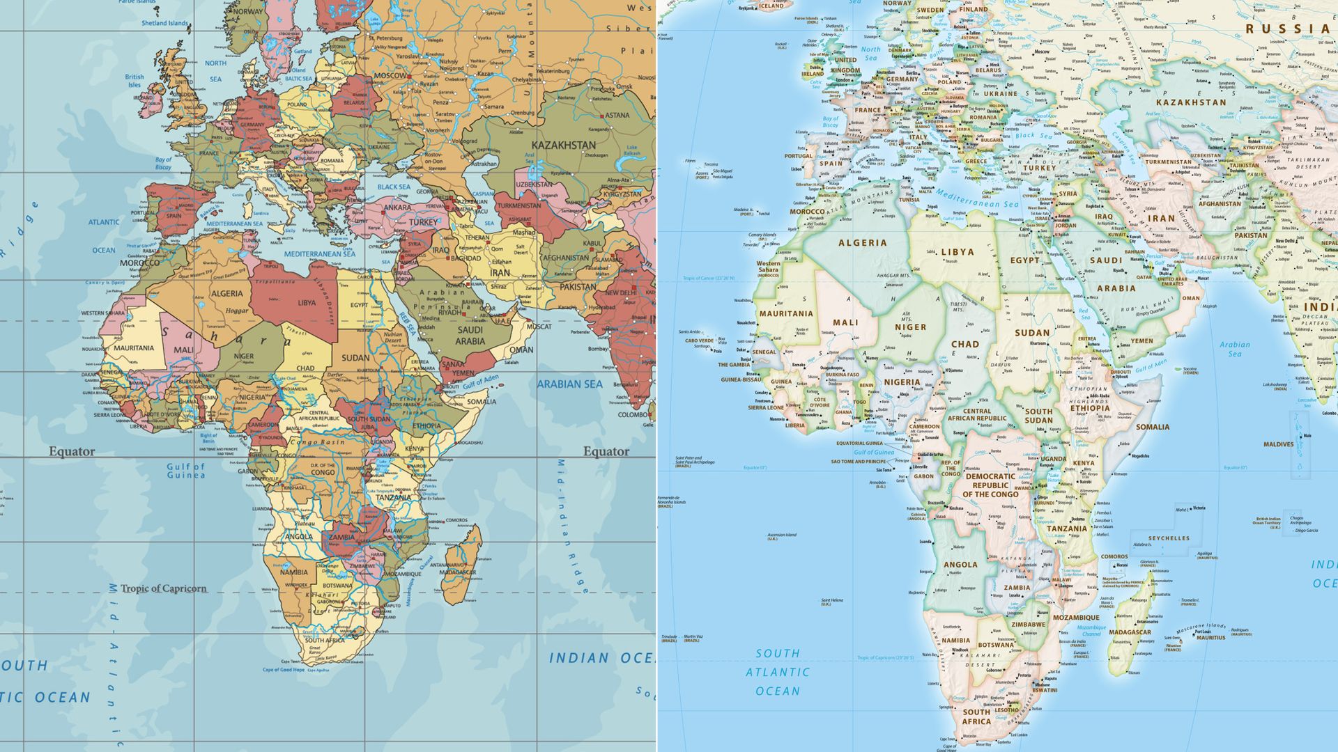
UN Votes to Adopt New World Map Reflecting Africa's True Size
Over 160 UN nations backed a new map, replacing a 500-year-old version that distorts Africa's vast landmass.
More than 160 countries at the United Nations have voted to transition away from a nearly 500-year-old traditional world map. The decision favors a newer projection that more accurately represents the true size of Africa, a continent often significantly understated on older cartographic representations.
The shift marks a significant moment in cartography and global perception, addressing long-standing criticisms that common world maps, based on the Mercator projection developed in the 16th century, severely distort the relative sizes of landmasses. This projection, while useful for navigation, inflates the size of countries and continents closer to the poles while diminishing those near the equator.
Africa, in particular, is vastly larger than typically depicted. On many conventional maps, it appears smaller than Greenland, despite being roughly 14 times its size. This new map aims to correct such distortions, providing a more equitable visual representation of global geography and the true proportions of its continents.
The implications of this change extend beyond mere cartographic accuracy. A more representative map could influence global perspectives on resource distribution, population density, and geopolitical influence. By visually correcting the scale, the new map may foster a more informed understanding of Africa's immense land area and its potential.
Historically, the Mercator projection was adopted for its navigational utility, as it preserves angles and shapes, making it easier for sailors to plot courses. However, its distortion of area has been a subject of debate for decades among geographers and educators. Various alternative projections, such as the Gall-Peters or Winkel Tripel, have been proposed to address these inaccuracies, but none have achieved widespread adoption until now.
The UN vote signifies a growing global consensus on the need for geographical representations that are not only functional but also free from inherent biases introduced by outdated projection methods. This move is expected to encourage educational institutions and international bodies to re-evaluate and potentially update their standard mapping practices.
While the exact timeline for the full implementation of the new map across all UN materials and member states remains to be detailed, the overwhelming vote indicates a strong commitment to adopting a more accurate global standard. This represents a substantial step towards a more geographically equitable understanding of the world.
Questions may arise regarding the specific projection chosen and the logistical challenges of updating maps in various sectors, from textbooks to digital platforms. However, the core decision to move towards a more truthful representation of continental sizes has been made, signaling a potential paradigm shift in how the world is visually understood.
This article was written by AI based on publicly available news reporting. Original reporting by the linked source.